
Curiosity Rover Resumes Mount Sharp Climb: What's Next for Mars Bedrock Science and Dust Storms?
We compile, generate and translate using Artificial Intelligence from the below given source. Macro Micro News is responsible for its editorial publication.
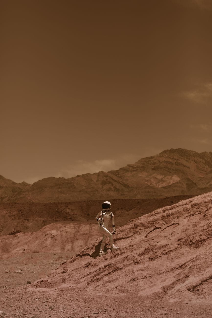
Gale Crater, Mars, Source : NASA's Curiosity rover has closed the detour and is back to climbing Mount Sharp, with a fresh workspace, richer bedrock science, and an eye on possible dust activity in the atmosphere. That pause at an erosional surface? It turned out to be a small scientific gold mine, and the team spent two full planning cycles studying it before moving on. A longer pause on Mars means more time to collect science. That's exactly how a long-term mission keeps learning.
During the sols 4982 to 4987 planning cycle, the rover sat right beside a striking feature just above the erosional supersurface contact. You might be wondering what made that spot so special. On Sol 4982, the right Mast Camera pointed at "Los Toldos," a set of thin ledge-like strata that stood out near the boundary. Scientists wanted to understand how these layers formed, so they followed up with the Mars Hand Lens Imager, or MAHLI, to revisit "Tres Morros" for a detailed mosaic. The images revealed the underside of the feature in crisp detail.
Then came the chemistry. The Alpha Particle X-ray Spectrometer measured "El Motacusal," a brushed bedrock target, and "Alto de Carmen," an untouched one. Both got high-resolution MAHLI images. ChemCam fired its laser at "Lagunas Bravas" and "Parququcha" for chemical breakdown spectra, and also used Remote Micro-Imaging on "Mishe Mokwa." Mastcam pieced together a near-field mosaic of the erosional ridge at "Los Toldos" and a wider view of higher bedrock exposed at "Los Ladrillos." Add some color imagery to support the laser shots, and you have a full day of geologist-grade curiosity.
After that, Curiosity drove about 100 feet to a new workspace, a flat area full of bedrock. The spot came with a small engineering consideration. The left-front wheel rested on a small rock, so the team chose to keep the Dust Removal Tool parked for this stop. That kept everything safe and stable. Instead, they picked two reachable bedrock targets, "Mamorecillo" and "Aguas Claras," for MAHLI and APXS. ChemCam scanned "Yura Kasa," a dark-toned resistant layer, and Mastcam documented more stratigraphy above the contact. Sometimes adapting on the fly brings out the best in a mission.
The sky deserved as much attention as the ground. Gale Crater is heading into fall, and with cooler temperatures usually comes quieter weather. The season can also send one last pulse of dust, so Curiosity stayed alert. Mastcam measured the air's optical depth, known as tau. A higher tau means more dust floating around. APXS ran an overnight atmospheric measurement, a reminder that a rover's science can go beyond rocks. Navcam handled the visual side with dust-devil surveys, a zenith observation, line-of-sight scans inside the crater, and suprahorizon cloud movies. Each set of data helps atmospheric scientists follow where dust travels and how it moves through the crater and across Mars.
After all this, Curiosity will push onward, driving another 150 feet to the southwest. The route keeps it pointed toward the lower slopes of Mount Sharp, where the rover has spent years reading the story of ancient water and environmental change. The work continues with contact science, remote sensing, sky monitoring, and careful navigation. It might sound routine. That's a beautiful thing on Mars. It means the rover is healthy, the team is in sync, and the mountain still has plenty to teach us.
Related in Space Tech
Space Tech
Lunar Farside Revealed: 15,000 Images Uncover Ancient Moon Terrain
For centuries we have looked up and seen only one face of our nearest celestial neighbor. Tidal locking keeps the far side turned away from Earth, creating a permanent blind spot in human history. Modern orbital technology has now lifted that veil. A detailed mosaic captured by…
Read More...
Space Tech
Stickney Crater: How a Massive Impact Nearly Destroyed Mars' Moon Phobos
Phobos, the innermost moon of Mars, carries a scar that tells a story of cosmic violence. Stickney Crater dominates its surface, a colossal basin named after Angeline Stickney Hall, wife of astronomer Asaph Hall. Hall discovered both Phobos and Deimos in 1877, linking human hist…
Read More...
Space Tech
Saturn's Cosmic Clarity: How One Night Revealed the Ringed Planet's Secrets
On October 8, 2026, the Astronomy Picture of the Day featured a breathtaking composite image titled "The Saturn System Smörgåsbord." This visual feast offers an unprecedented view of the ringed planet and its diverse moons. Astrophotographer Tom Williams captured this exquisite…
Read More...
Space Tech
Artemis II Crew Captures Lunar Impact Flashes: What the Moon Revealed in April 2026
NASA has shared a remarkable dataset from the Artemis II mission that offers fresh perspectives on our lunar neighbor. The journey occurred between April 1 and April 10, 2026, marking the first crewed trip to the Moon's vicinity since the Apollo days. Astronauts Reid Wiseman, Vi…
Read More...
Space Tech
Pa 30: The 845-Year-Old Supernova Mystery That Defies Standard Models
The night sky holds countless stories written in light and dust. Among these celestial narratives, supernova remnants stand as testaments to the violent yet creative end of stellar lives. These expanding shells do more than mark a star's death. They scatter heavy elements across…
Read More...
Space Tech
Earth's Full Aurora Ring Revealed: SMILE Mission Captures Complete View
Scientists have achieved a remarkable first by capturing the entire auroral oval in one continuous shot. The Solar Wind Magnetosphere Ionosphere Link Explorer mission shared this image on October 6, 2026. This perspective offers a fresh look at how our planet interacts with the…
Read More...
Space Tech
Sombrero Galaxy M104: New Deep-Exposure Image Reveals Tidal Streams and Violent History
The Sombrero Galaxy, known scientifically as Messier 104 or M104, has always drawn the eye with its striking resemblance to a wide-brimmed Mexican hat. This massive spiral galaxy features a bright central bulge encircled by a distinctive dark band of interstellar dust. While ast…
Read More...
Space Tech
New Jersey Sky: Witnessing Supernumerary Rainbows and the Wave Nature of Light
On October 4, 2026, the skies above New Jersey presented a rare spectacle that captivated both amateur photographers and meteorology enthusiasts. Following the passage of storm remnants over the Jersey Shore, a standard rainbow appeared in one direction. However, the phenomenon…
Read More...
Space Tech
Mars Rover's New Selfie Reveals Vera Rubin Ridge Secrets
NASA’s Curiosity rover has once again provided humanity with a breathtaking glimpse into the red planet. The vehicle captured a stunning panoramic selfie at the south rim of Vera Rubin Ridge. This image served as the Astronomy Picture of the Day for October 3, 2026. It marks a s…
Read More...
Space Tech
313 Nebulas Captured: The Complete Sharpless Catalog Revealed in Eastern China
On October 2, 2026, NASA’s Astronomy Picture of the Day highlighted a monumental achievement in astrophotography. The complete Sharpless Catalog has been unveiled, showcasing 313 distinct nebulae. This comprehensive collection offers an unprecedented opportunity to explore the d…
Read More...