
Super El Niño 2026 Could Bring Flooding to Western US: Here's What Forecasters Are Watching
We compile, generate and translate using Artificial Intelligence from the below given source. Macro Micro News is responsible for its editorial publication.
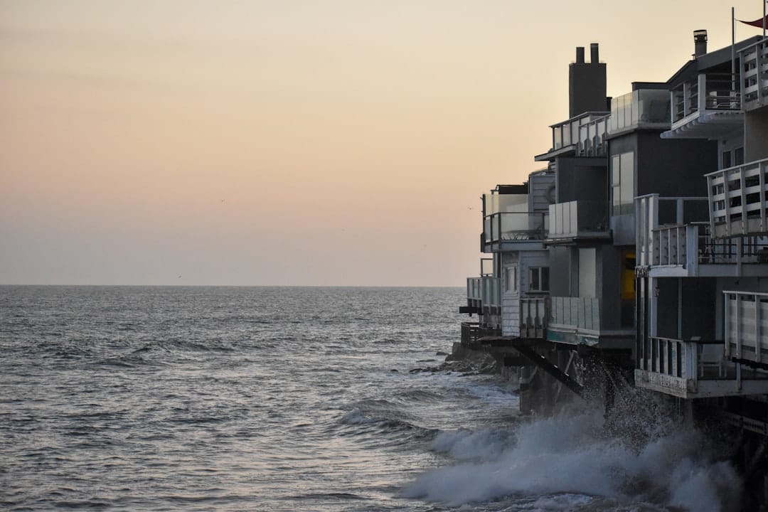
California, MMN Correspondent: Something big is taking shape across the Pacific Ocean, and its effects are expected to reach the United States this winter. Climate scientists are tracking what could become one of the strongest El Niño events on record. If the forecasts hold, the western and south-eastern parts of the country should prepare for a noticeably wetter season.
El Niño happens when sea surface temperatures in the central and eastern tropical Pacific run unusually warm. It changes wind patterns and sends that warmth spreading across the ocean, which nudges the global weather system in a new direction. This year, the event has earned a "super" label because those ocean temperatures are expected to climb more than 2°C above normal. That is a threshold rarely reached in modern records.
The National Oceanic and Atmospheric Administration has already confirmed that this system will pick up strength in the fall and winter, with a strong chance it sticks around into early spring 2027. Forecasts from the European Centre for Medium-Range Weather Forecasts put California's coastal odds of above-average rainfall at 70% to 100%. This has prompted state officials and emergency planners to look closely at flood zones, coastal erosion points, and storm response plans.
UCLA climate scientist Daniel Swain says the strength of this El Niño significantly shifts the odds toward a wet winter. "That will likely affect and increase the likelihood of coastal flooding, particularly during strong storm events or during king tide events," he said during a town hall hosted by California State Senator Mike McGuire.
California has felt strong El Niños before. The 1982-83 event destroyed 33 oceanfront homes and damaged 3,000 other residences. The 1997-98 season brought widespread flooding and mudslides, leaving billions in repair costs. Then in 2015-16, officials recorded severe beach erosion along the state's coastline. Those past events give forecasters a clear idea of what might be on the way.
Mark Merrifield, a researcher at the Scripps Institution of Oceanography, explains that less beach in front of the coast means waves can hit the shoreline with more force. "With less beach in front of the coastline, the waves will have even greater impact on the shoreline with more likelihood of flooding and undercutting of cliffs," he said at the same town hall.
The incoming rain offers real relief for parts of the west that have been dry for a long time. At the same time, a full recovery for the south-west will take an exceptionally wet season. Dr. Joel Lisonbee, a senior associate scientist at the Cooperative Institute for Research in Environmental Sciences at the University of Colorado Boulder, says some reservoirs are still at all-time lows. One event alone is unlikely to erase that long-term deficit.
The Gulf Coast and parts of the East Coast are also in the path of wetter conditions. From Florida to the mid-Atlantic, odds favor increased precipitation. During El Niño winters, central and south Florida have historically seen more tornadoes and flood events. A 1998 El Niño winter produced an unusually strong tornado outbreak in that region, with 42 fatalities and more than $100 million in reported damage.
No two El Niños behave exactly alike. Some have fueled hurricanes and heavy rain. Others have brought extreme heat and drought. This variability makes exact predictions tricky. What forecasters can say from current models is that the odds are strong for wetter-than-normal conditions across much of the US.
For California, this super El Niño doubles as an early test for climate change scenarios. Merrifield points out that temporary sea-level rise during the event gives a preview of what the state can expect as the planet continues to warm. He called this a valuable opportunity to see where vulnerabilities exist and to strengthen preparation plans for rising seas.
For the general public, preparation starts now. Do you know how heavy rains could affect your neighborhood? Are your gutters clear, your sump pump checked, your emergency kit ready? Local authorities are expected to release more specific guidance as the season approaches.
Flooding can damage homes, businesses, and infrastructure, leading to repair costs and service disruptions. At the same time, the rain can replenish reservoirs and groundwater supplies, which brings long-term water benefits. The outcome depends largely on how well communities prepare.
Beyond the US, this super El Niño is likely to influence weather in South America, Australia, and Asia. Some areas may see drought, others may get floods. International groups are following the conditions closely to support early response and humanitarian planning.
Researchers are using this event to sharpen forecast models and understand how El Niño interacts with a warming climate. There is also growing attention to what happens after the event ends. The lessons learned this season could inform water management, infrastructure design, and emergency planning for years to come.
For everyone in line to feel the effects, the message is simple: stay informed, stay ready, and take the wet season seriously. The super El Niño of 2026-27 is a reminder of how connected the planet's weather systems really are. With the right preparation, communities can weather the season and benefit from the water that comes with it.
Related in Global Warming
Scientific Research
How PLOS Climate Is Reshaping Global Science: The Open Access Advantage
In the fast-moving world of scientific communication, open access journals are doing more than just sharing papers. They are breaking down walls that have long kept knowledge out of reach. PLOS Climate stands at the center of this shift. As a key part of the Public Library of Sc…
Read More...
Scientific Research
PLOS Climate: How Open Access is Reshaping Global Warming Solutions
The landscape of scientific publishing is shifting beneath our feet. Accessibility and transparency are no longer just nice-to-have features; they are the bedrock upon which we address the most pressing challenges of our time. The Public Library of Science (PLOS), a nonprofit ba…
Read More...
Scientific Research
PLOS Climate: Why Broken Links Threaten Global Science Access
The digital landscape of scientific communication is shifting beneath our feet. As climate research accelerates, the integrity and accessibility of this data have become paramount. Specialized journals like PLOS Climate face constant challenges regarding content availability and…
Read More...
Scientific Research
Why Climate Data Links Fail: The Open Access Fix You Need Now
Imagine clicking a link to the latest climate study only to hit a dead end. That frustrating 'Page Not Found' error is more than a technical glitch. It represents a significant barrier in the fight against misinformation and delayed action. When vital research on global warming…
Read More...
Scientific Research
PLOS Climate: The Open Access Frontier for Global Warming Research
The landscape of scientific publishing is shifting rapidly. Accessibility and transparency are no longer just ideals but necessities. PLOS, a nonprofit organization based in California, stands at the forefront of this movement. They champion open access to peer-reviewed research…
Read More...
Global Warming
COP17 Mongolia: The Desertification Summit Deciding Your Food and Water Future
Around 10,000 people are heading into a national park near Ulaanbaatar this week. They've gathered for COP17, the seventeenth Conference of Parties to the United Nations Convention to Combat Desertification. The meeting runs from August 17 to 28, and it could determine how farms…
Read More...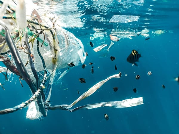
Global Warming
Plastics Treaty Draft Leaves Out Production Cuts: What It Means for You and the Planet
The newest draft of the global plastics treaty has arrived, and it is missing something many countries consider essential. Chilean ambassador Julio Cordano, the diplomat chairing the United Nations talks, released the document as an informal reference text. It reads a lot like a…
Read More...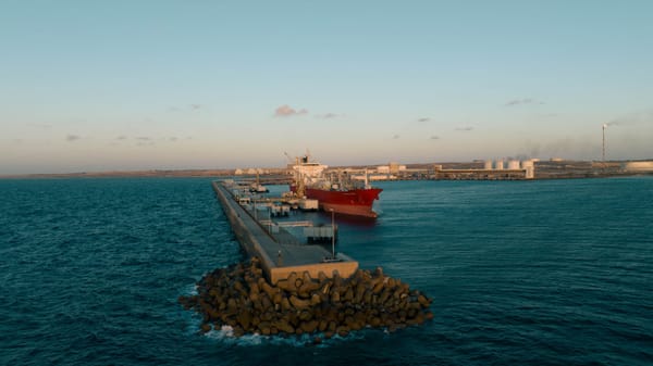
Global Warming
What You Need to Know About South Africa’s Offshore Oil Court Battle: Communities Take On Shell and TotalEnergies
Layers of red dust still coat Saldanha Bay, a reminder of the iron ore exports that transformed a quiet coastal fishing town in the 1970s. Today, the same bay is being prepared for a different role. The South African government wants to turn it into the country's oil and gas hub…
Read More...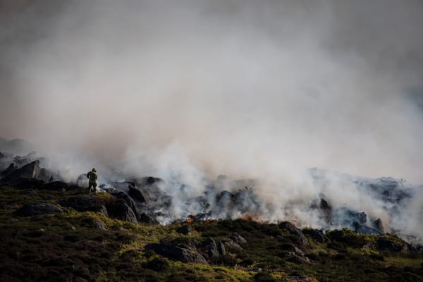
Global Warming
UK Wildfire Crisis 2026: 71% of England in Drought and Firefighters Overwhelmed, Are We Ready for What's Next?
The United Kingdom is living through a fire emergency that keeps growing. Dry landscapes, repeated heatwaves, and shifting wind patterns have turned large parts of the country into a potential tinderbox. Firefighters are working long shifts to contain flames in Hampshire, Nottin…
Read More...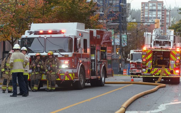
Global Warming
Canada’s Out-of-Control Wildfires: 22,000 Flee British Columbia, and What That Means for Your Community
Summerland received its evacuation order with little time to spare. Across British Columbia, around 22,000 people have now left their homes as 102 active wildfires spread through the province. Nearly half of those fires are listed as uncontrolled. The Bald Range fire grew to mor…
Read More...